

After a nice rest day to recover electrolytes after heat wave central, I left Puigcerda and crossed the border into France. My first major country goal was complete, as I started thinking about the journey through France, although it doesn’t help to dwell on the whole country. It was a strange feeling to start anew. That strange feeling wasn’t relieved as all of the signs and language immediately changed to French upon crossing the border.
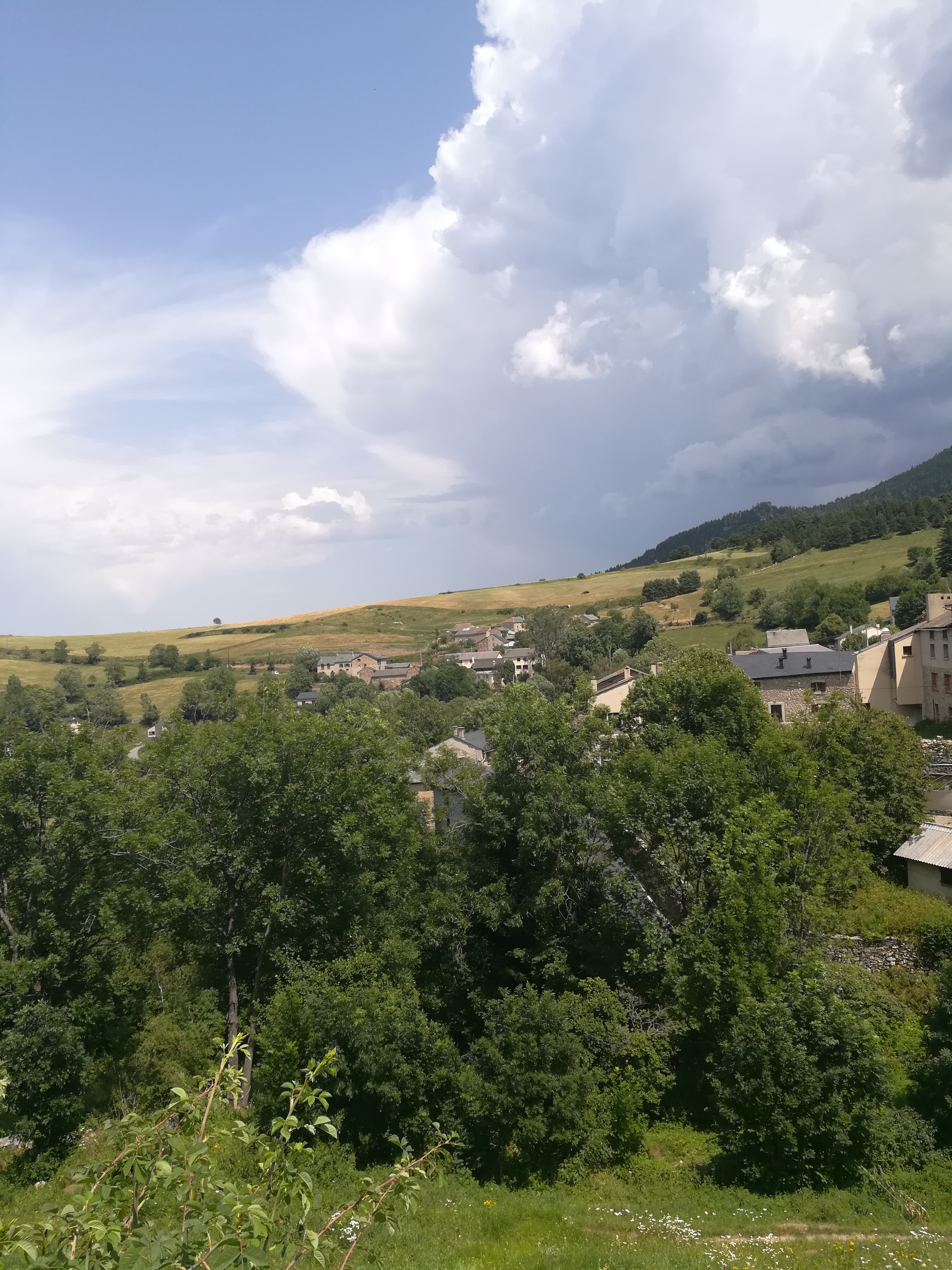
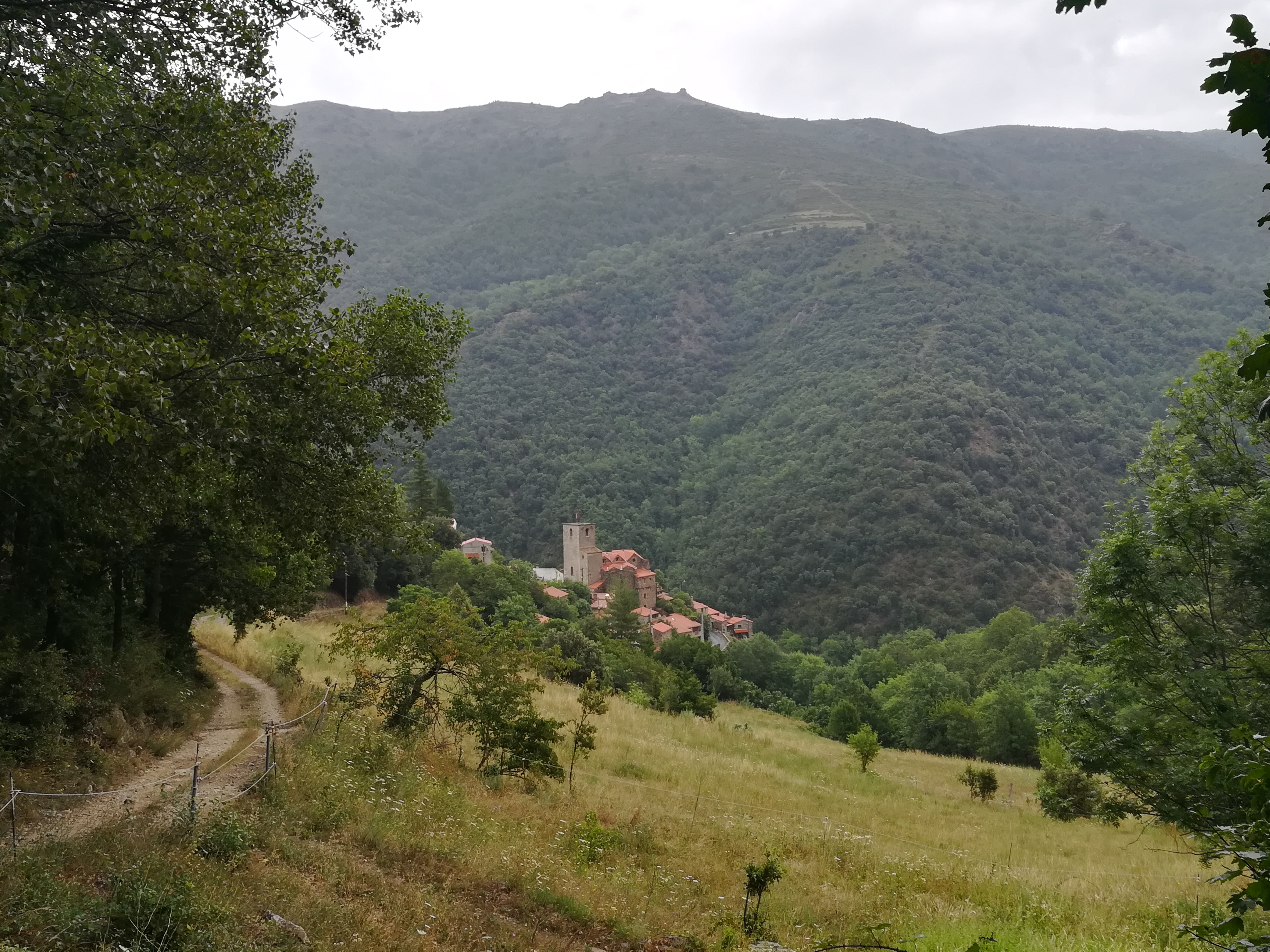
This first day was a transition day. The GR4 carried me to Puigcerda where it terminates. The new path is the GR10, which started some 27km away from Puigcerda in the very small village of Planes. Since there was no official path between the two towns, it was a day of freelance walking where I picked a route that I liked and followed it. The route worked out well and there were no surprises as I worked my way along the valley before eventually climbing up to the hills via the pretty little town of Llo. I then skirted the ski areas before making it to Planes. I arrived a bit early, which turned out to be a great thing because some fairly violent thunderstorms hit, bringing lightning and coin sized hail.

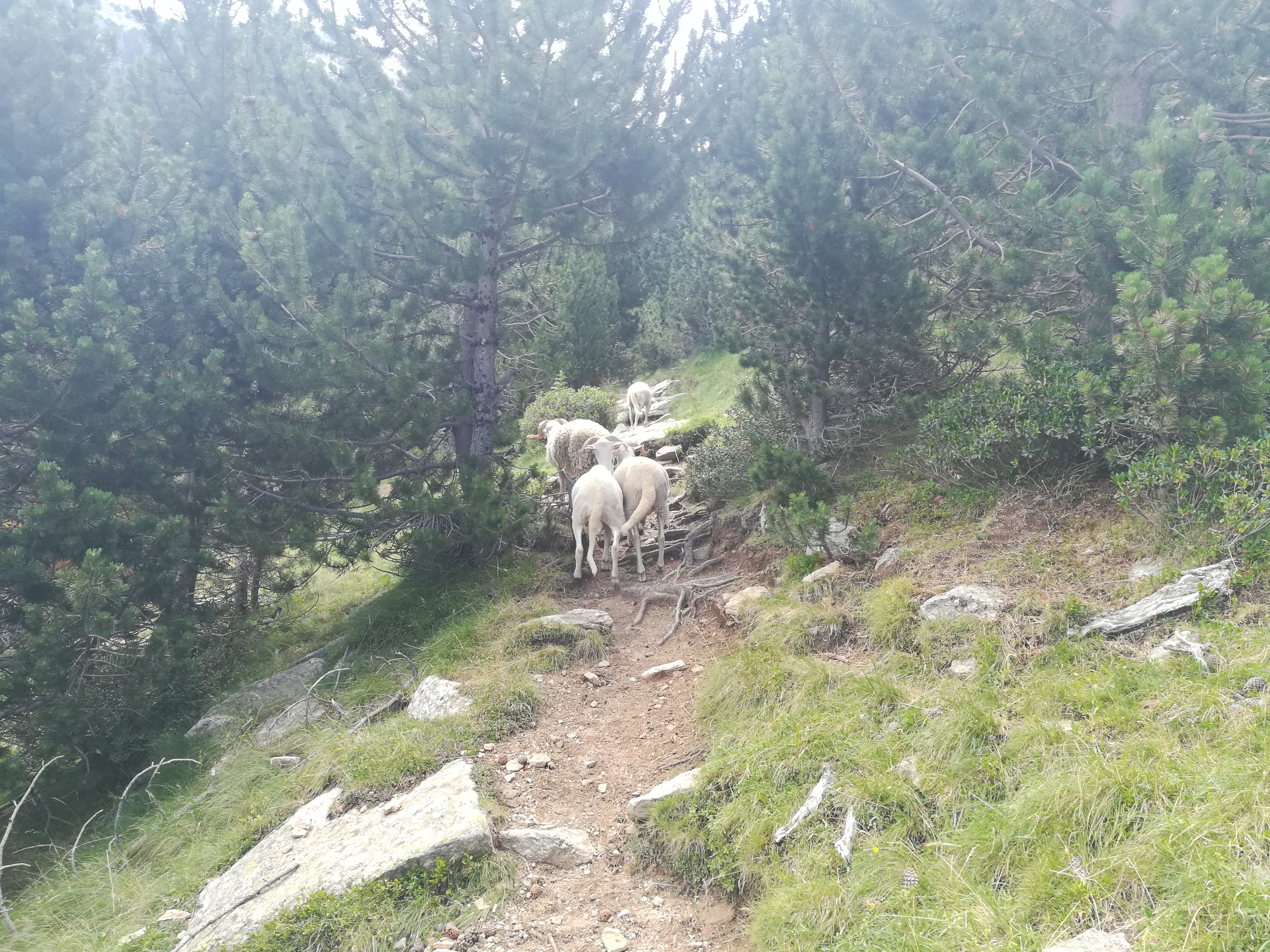
The next day was a long and difficult one, being the first day in the heart of the Pyrenees where the big mountains live. The trail out of Planes was relatively level, gradually working its way down to the bottom of a river valley. However, the climb out was the first of two monster climbs and descents on the day. The first climb was relentless, and about half way up a group of sheep started walking on the trail in front of me.
I stopped for a few moments at the coll to take photos and catch my breath. The descent was knee breaking and seemed to go on forever. The view was spectacular to say the least, with the refuge hut being the only building around, surrounded by huge peaks. After a short stint of forest trail, the second major climb began. I was exhausted by the time I had reached the coll of the Mantet Reserve. It rained briefly on the way down to the tiny village of Mantet, where I stayed in a yurt at a refuge with three other French hikers.

Overnight there were thunderstorms, and it was still raining in the morning. While the forecast called for sun, the weather in the Pyrenees can be unpredictable and change very quickly. I took a slow breakfast, which allowed the rain to slow to a drizzle. I set off knowing that there would be serious hiking this day. A moderate climb and descent into the tiny village of Py started the day. By the time I arrived in Py, the sun was out. I was feeling good, as there was a gradual climb through nice forest to the Refuge Marialles. The refuge was busy with hikers and rock climbers, and the views of the jagged peaks were excellent.

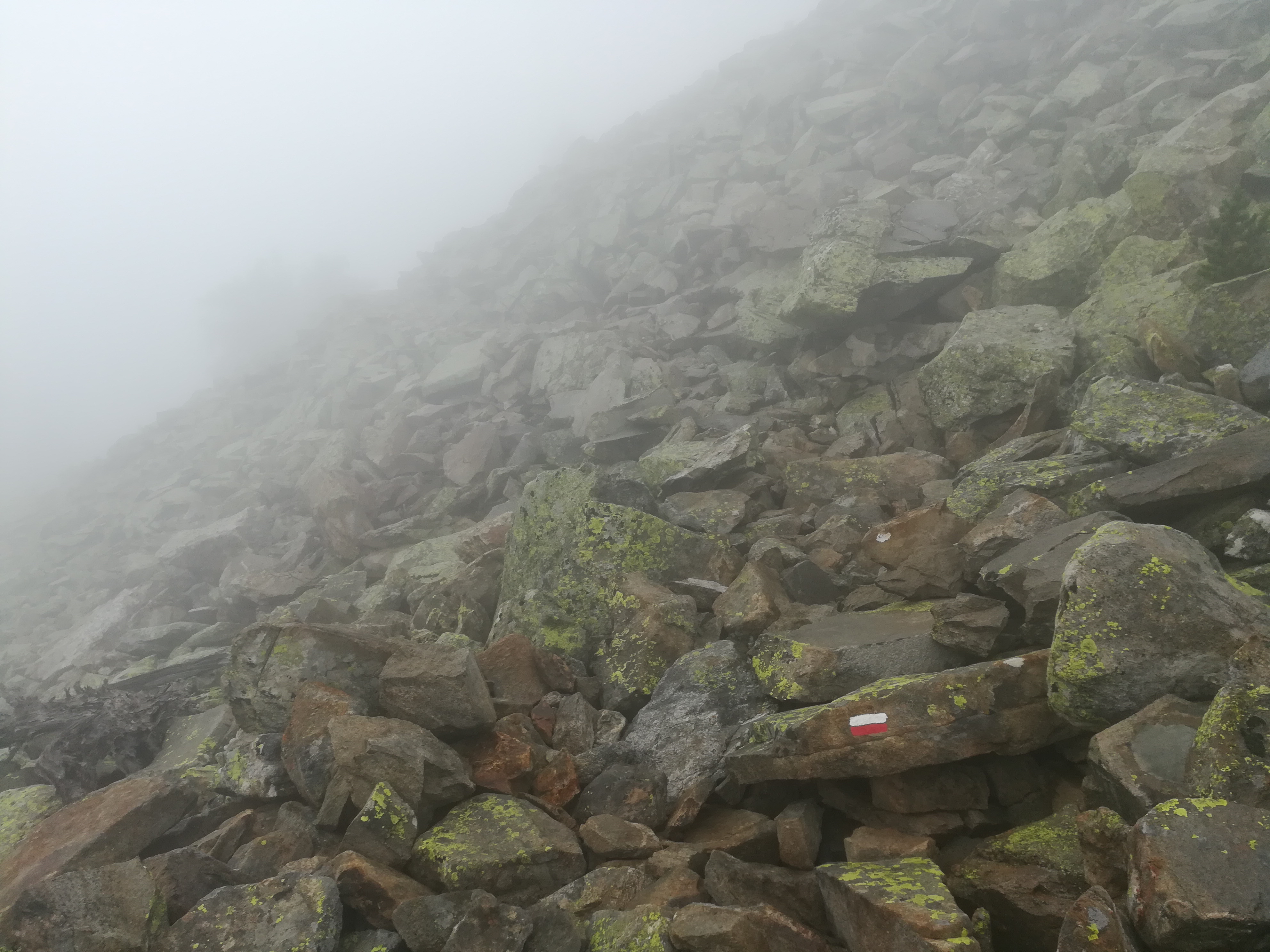
However, clouds were starting to build and the day turned a bit sour. Soon I was hiking in thick cloud with very limited visibility. After a while the lightning started (which is always unsettling) followed by rain. While crossing one of many large skree fields, I slipped and fell hard onto the rocks.
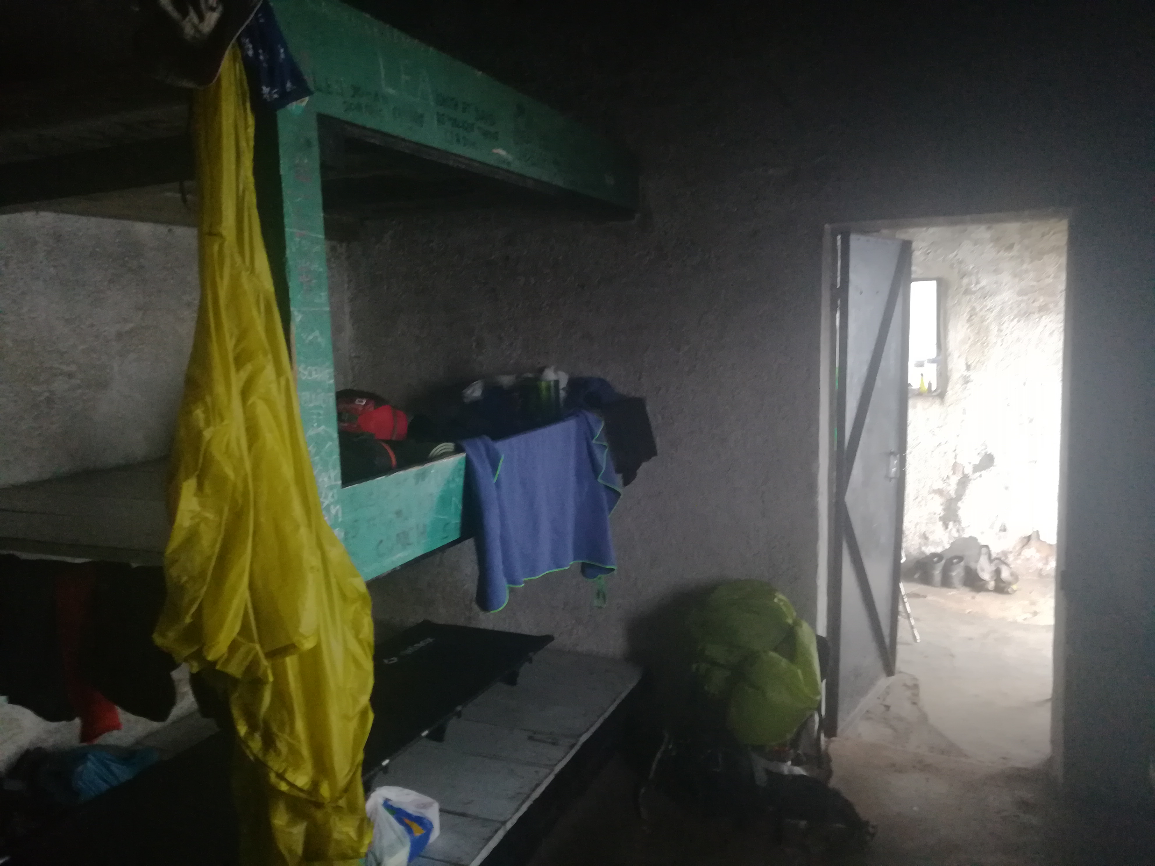
After a cursory check to make sure that nothing was broken, it took me a few minutes to gather myself. I had a significant gash in my right knee that was bleeding, my left knee had made heavy contact but was not bleeding, and I had jammed or hyperextended the middle finger on my right hand. My finger soon started to bruise around the middle joint, and it swelled to where I could not bend it fully. My goal was to go another few kilometers to a full refuge, but I realized that I should go to the nearest hut and call it a day. I needed to save my body to fight another day. The hut was just off the trail, and I joined two other French hikers in the bare minimum, but cozy stone hut.
Upon waking in the morning, I could barely move. I needed some ibuprofen just to get my joints moving again. The storm had lifted overnight, and there were lovely views to the villages below. Instead of taking the rough trail over the top of the mountain, I opted for the longer but steadier dirt road. The road passed near some other huts on its way over and down the crest. The road gave way to trail for the main descent into the village of Baillestavy. While the descent went through some picture postcard forests, the drop was steep and seemed like it would never end. My knees were hating life. With a couple of kilometers left to Baillestavy, it started raining again. This slowed me even more as I was worried about falling again. Edging on soaked, I stopped in Baillestavy for lunch.
Luckily the rain ended during lunch, and I opted to take the paved road to Finestret rather than the trail. I’d had enough of trails for the day. Once reaching Finestret, I detoured a couple of kilometers to Joch, a beautiful little village. After a rough couple of days in the mountains, the amazing Airbnb that I had in Joch couldn’t have come at a better time.
Walking days: 72
Total distance walked: 2073km (1288mi)

Congratulations on finishing off the first country!
Hey Heath, hope your knees are healing up. Congrats on getting through Spain! Stay safe, love: Derek, Alisson & Parker